

Fourmile Creek At Orodell, Co. Realtime Data
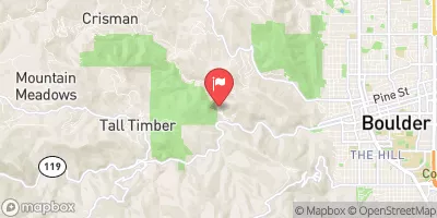
FOURMILE CREEK AT ORODELL, CO.
Realtime Data • Report • Conditions
0
Discharge (cfs)
4.4
Gauge Height (ft)
USGS 06727500
Streamflow discharge was last observed at 0 cfs, and a gauge height of 4.37 feet.
With the
% decrease since yesterday,
the streamflow average over the past 10 days is 0 .
Weather today, Tomorrow,
Fourmile Creek is a tributary of Clear Creek and is fed by several smaller tributaries. There are no major dams on the creek, but there are several smaller water diversions for agricultural use. Streamflow tends to be highest in the spring and early summer due to snowmelt, and lowest during the winter months. Interestingly, Fourmile Creek was the site of a historic gold rush in the late 1800s, and remnants of mining activity can still be seen along the creek. Despite this, the creek is now a popular destination for fishing and hiking.
October 3, 2026
| Elevation | 5,759.0 ft |
| Last Updated | |
| Gage height, ft | 4.37 ft |
| Streamflow, ft³/s | 0.36 ft3/s |
| Percent of Normal | 48% |
| Year Over Year Average | 1 cfs |
| 24hr Flow Prediction | cfs |
| Maximum Recorded | 323 cfs |
| Geolocation | 40.02, -105.33 |
 Continue with Snoflo Premium