

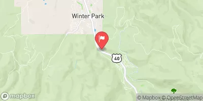
Fraser River At Winter Park, Co. Realtime Data
FRASER RIVER AT WINTER PARK, CO.
Realtime Data • Report • Conditions
3
Discharge (cfs)
0.7
Gauge Height (ft)
USGS 09024000
Streamflow discharge was last observed at 3 cfs, and a gauge height of 0.73 feet.
With the
% decrease since yesterday,
the streamflow average over the past 10 days is 3 .
Weather today, Tomorrow,
The river is fed by snowmelt from the Rocky Mountains, and its flow is influenced by several dams, including Windy Gap and Moffat Tunnel. During the winter months, flow is generally low due to reduced snowmelt. However, in the spring and early summer, flow increases significantly as snowmelt peaks. The Fraser River is known for its excellent trout fishing and is a popular destination for outdoor enthusiasts. Despite its recreational popularity, the river has faced challenges from pollution and habitat degradation in recent years.
October 22, 2026
| Elevation | 8,944.0 ft |
| Last Updated | |
| Gage height, ft | 0.73 ft |
| Stream water level elevation above NAVD 1988, in ft | 8911.81 ft |
| Streamflow, ft³/s | 2.73 ft3/s |
| Specific conductance, water, unfiltered, microsiemens per centimeter at 25°C | 165.0 uS/cm @25C |
| Temperature, water, °C | 5.3 deg C |
| Percent of Normal | 35% |
| Year Over Year Average | 8 cfs |
| 24hr Flow Prediction | cfs |
| Maximum Recorded | 337 cfs |
 Continue with Snoflo Premium