

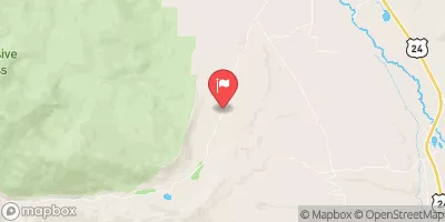
Halfmoon Creek Near Malta, Co. Realtime Data
HALFMOON CREEK NEAR MALTA, CO.
Realtime Data • Report • Conditions
11
Discharge (cfs)
1.4
Gauge Height (ft)
USGS 07083000
Streamflow discharge was last observed at 11 cfs, and a gauge height of 1.37 feet.
With the
% decrease since yesterday,
the streamflow average over the past 10 days is 12 .
Weather today, Tomorrow,
It has no major tributaries or dams, but does have a few smaller streams that contribute to its flow. Seasonal trends show that the creek typically peaks in the spring as snowmelt occurs, and then gradually decreases throughout the summer and fall months. Interestingly, the Halfmoon Creek is part of the Arkansas River Basin, which is one of the most heavily irrigated areas in the United States. This hydrological connection highlights the importance of monitoring and managing water resources in this region.
October 14, 2026
| Elevation | 9,838.0 ft |
| Last Updated | |
| Gage height, ft | 1.37 ft |
| Streamflow, ft³/s | 10.7 ft3/s |
| Temperature, water, °C | 7.0 deg C |
| Percent of Normal | 91% |
| Year Over Year Average | 12 cfs |
| 24hr Flow Prediction | cfs |
| Maximum Recorded | 488 cfs |
| Geolocation | 39.17, -106.39 |
 Continue with Snoflo Premium