

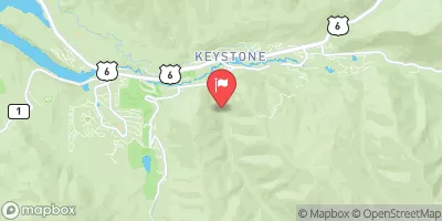
Keystone Gulch Near Dillon, Co. Realtime Data
KEYSTONE GULCH NEAR DILLON, CO.
Realtime Data • Report • Conditions
2
Discharge (cfs)
2.0
Gauge Height (ft)
Streamflow discharge was last observed at 2 cfs, and a gauge height of 1.99 feet.
With the
% decrease since yesterday,
the streamflow average over the past 10 days is 2 .
Weather today, Tomorrow,
The primary source of water for this stream is snowmelt, which peaks in the late spring and early summer months. The stream is also fed by several tributaries, including Williams Fork, Loveland Creek, and Soda Creek. There are no significant dams along the stream. The Keystone Gulch Streamgauge is maintained by the United States Geological Survey (USGS), which provides real-time data on water levels and flow rates. One interesting fact about the hydrology of Keystone Gulch is that the stream is occasionally used for whitewater rafting and kayaking when water levels are high enough.
October 23, 2026
| Elevation | 9,404.0 ft |
| Last Updated | |
| Gage height, ft | 1.99 ft |
| Streamflow, ft³/s | 1.57 ft3/s |
| Percent of Normal | 54% |
| Year Over Year Average | 3 cfs |
| 24hr Flow Prediction | cfs |
| Maximum Recorded | 161 cfs |
| Geolocation | 39.59, -105.97 |
 Continue with Snoflo Premium