

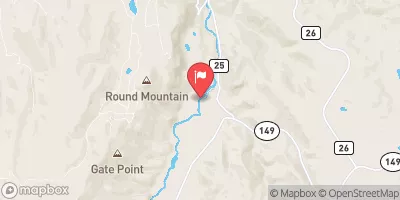
Lake Fork At Gateview, Co. Realtime Data
LAKE FORK AT GATEVIEW, CO.
Realtime Data • Report • Conditions
233
Discharge (cfs)
2.0
Gauge Height (ft)
USGS 09124500
Streamflow discharge was last observed at 233 cfs, and a gauge height of 2.04 feet.
With the
% decrease since yesterday,
the streamflow average over the past 10 days is 157 .
Weather today, Tomorrow,
The primary flow contributor is snowmelt, which results in peak flows during late spring and early summer. The river flows through a narrow gorge with steep canyon walls, which can cause flash floods during heavy rainfall events. The river is also affected by dams, including the Blue Mesa Dam, which regulates water flow for hydroelectric power generation and irrigation. The Lake Fork River is known for its excellent fishing opportunities, with rainbow, brown, and cutthroat trout in its waters.
October 15, 2026
| Elevation | 7,841.0 ft |
| Last Updated | |
| Gage height, ft | 2.04 ft |
| Stream water level elevation above NAVD 1988, in ft | 7835.72 ft |
| Streamflow, ft³/s | 233.0 ft3/s |
| Specific conductance, water, unfiltered, microsiemens per centimeter at 25°C | 245.0 uS/cm @25C |
| Temperature, water, °C | 8.0 deg C |
| Precipitation, total, in | 0.01 in |
| Percent of Normal | 284% |
| Year Over Year Average | 82 cfs |
| 24hr Flow Prediction | cfs |
| Maximum Recorded | 2,280 cfs |
| Geolocation | 38.30, -107.23 |
 Continue with Snoflo Premium