

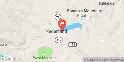
Middle Boulder Creek At Nederland, Co. Realtime Data
MIDDLE BOULDER CREEK AT NEDERLAND, CO.
Realtime Data • Report • Conditions
10
Discharge (cfs)
0.6
Gauge Height (ft)
Streamflow discharge was last observed at 10 cfs, and a gauge height of 0.64 feet.
With the
% decrease since yesterday,
the streamflow average over the past 10 days is 6 .
Weather today, Tomorrow,
The flow is influenced by both natural factors and human activities, such as snowmelt and water withdrawals. The creek is fed by numerous tributaries, including North Boulder Creek and Middle Boulder Creek South Fork. Additionally, there are several dams on the creek, which can affect the flow. The seasonal trends show that the flow is highest in the spring due to snowmelt and lowest in the fall and winter. Interestingly, the Middle Boulder Creek is popular for whitewater rafting and kayaking during the summer months. Overall, the hydrology of the Middle Boulder Creek is complex and influenced by various factors.
October 15, 2026
| Elevation | 8,191.0 ft |
| Last Updated | |
| Gage height, feet | 0.64 ft |
| Streamflow, ft3/s | 9.5 ft3/s |
| Percent of Normal | 73% |
| Year Over Year Average | 14 cfs |
| 24hr Flow Prediction | cfs |
| Maximum Recorded | 566 cfs |
| Geolocation | 39.96, -105.50 |
 Continue with Snoflo Premium