

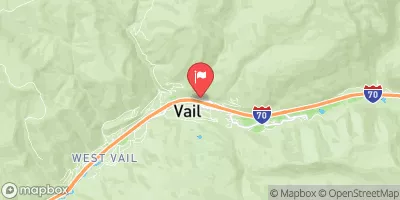
Middle Creek Near Minturn, Co. Realtime Data
MIDDLE CREEK NEAR MINTURN, CO.
Realtime Data • Report • Conditions
0
Discharge (cfs)
2.1
Gauge Height (ft)
Streamflow discharge was last observed at 0 cfs, and a gauge height of 2.10 feet.
With the
% decrease since yesterday,
the streamflow average over the past 10 days is 0 .
Weather today, Tomorrow,
The primary source of water for the creek is snowmelt from the surrounding mountains. The seasonal trends show peak flow rates in May and June, following the spring snowmelt, and lower flow rates during the winter season. There are no major dams or notable tributaries along the Middle Creek. However, the hydrology of the creek is impacted by the town of Minturn's water diversion system, which draws water from the creek for municipal use. Interesting fact: Middle Creek is known for its excellent fly fishing opportunities, attracting anglers from around the world.
October 22, 2026
| Elevation | 8,215.0 ft |
| Last Updated | |
| Gage height, ft | 2.1 ft |
| Specific conductance, water, unfiltered, microsiemens per centimeter at 25°C | 263.0 uS/cm @25C |
| Temperature, water, °C | 5.8 deg C |
| Streamflow, ft³/s | 0.17 ft3/s |
| Percent of Normal | 22% |
| Year Over Year Average | 1 cfs |
| 24hr Flow Prediction | cfs |
| Maximum Recorded | 92 cfs |
| Geolocation | 39.65, -106.38 |
 Continue with Snoflo Premium