

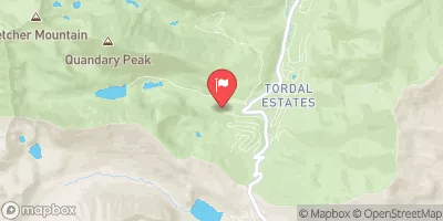
Monte Cristo Diversion Near Hoosier Pass, Co. Realtime Data
MONTE CRISTO DIVERSION NEAR HOOSIER PASS, CO.
Realtime Data • Report • Conditions
0
Discharge (cfs)
0.0
Gauge Height (ft)
USGS 09041900
Streamflow discharge was last observed at 0 cfs, and a gauge height of 0.01 feet.
With the
% decrease since yesterday,
the streamflow average over the past 10 days is 0 .
Weather today, Tomorrow,
It is primarily used to measure flow for water providers and constituents in the area. The gauge is located on the Blue River, which is fed by several tributaries including the Snake River and Tenmile Creek. There are several dams along the Blue River, including the Dillon Dam and Green Mountain Dam, which can affect flow. Seasonal trends show higher flow in the spring and lower flow in the fall. Interestingly, the Monte Cristo diversion was once the site of a gold rush in the late 1800s.
August 28, 2026
| Elevation | 10,996.0 ft |
| Last Updated | |
| Gage height, ft | 0.01 ft |
| Streamflow, ft³/s | 0.01 ft3/s |
| Percent of Normal | 20% |
| Year Over Year Average | 0 cfs |
| 24hr Flow Prediction | cfs |
| Maximum Recorded | 53 cfs |
| Geolocation | 39.38, -106.07 |
 Continue with Snoflo Premium