

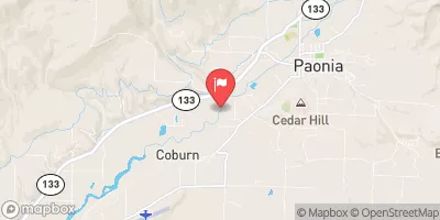
North Fork Gunnison River Below Paonia, Co Realtime Data
NORTH FORK GUNNISON RIVER BELOW PAONIA, CO
Realtime Data • Report • Conditions
149
Discharge (cfs)
0.9
Gauge Height (ft)
Streamflow discharge was last observed at 149 cfs, and a gauge height of 0.87 feet.
With the
% decrease since yesterday,
the streamflow average over the past 10 days is 123 .
Weather today, Tomorrow,
The river's flow is primarily provided by snowmelt and precipitation in the surrounding mountains, with seasonal trends showing peak flows in late spring and early summer. There are several potential tributaries that contribute to the river's flow, including Muddy Creek and Anthracite Creek. One interesting fact about the North Fork Gunnison River is that it was once a popular destination for gold mining in the late 1800s. Today, the river is protected by several conservation measures, including the Paonia Reservoir, which helps regulate flow and provides additional water storage for the area. College students interested in water resources should study the North Fork Gunnison River as it provides an excellent example of how natural systems can be managed to meet human needs while maintaining ecological integrity.
October 22, 2026
| Elevation | 5,563.0 ft |
| Last Updated | |
| Gage height, ft | 0.87 ft |
| Streamflow, ft³/s | 149.0 ft3/s |
| Stream water level elevation above NAVD 1988, in ft | 5561.06 ft |
| Percent of Normal | 237% |
| Year Over Year Average | 63 cfs |
| 24hr Flow Prediction | cfs |
| Maximum Recorded | 4,620 cfs |
| Geolocation | 38.86, -107.62 |
 Continue with Snoflo Premium