

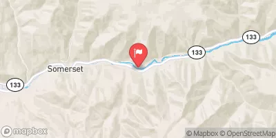
North Fork Gunnison River Near Somerset, Co. Realtime Data
NORTH FORK GUNNISON RIVER NEAR SOMERSET, CO.
Realtime Data • Report • Conditions
52
Discharge (cfs)
1.2
Gauge Height (ft)
Streamflow discharge was last observed at 52 cfs, and a gauge height of 1.21 feet.
With the
% decrease since yesterday,
the streamflow average over the past 10 days is 62 .
Weather today, Tomorrow,
The river is fed by snowmelt from the surrounding mountains, and its flow is regulated by a series of reservoirs and dams. The primary constituents of the river are snowmelt and precipitation, with occasional input from groundwater. The North Fork is a small, spring-fed tributary that joins the Gunnison River near the town of Hotchkiss. Seasonal trends include high flows in the spring and early summer, followed by a gradual decline into the fall and winter. Interesting facts about the river include its designation as a Gold Medal trout fishery, and the presence of several unique plant and animal species in its watershed.
October 6, 2026
| Elevation | 6,081.0 ft |
| Last Updated | |
| Gage height, ft | 1.21 ft |
| Stream water level elevation above NAVD 1988, in ft | 6083.46 ft |
| Streamflow, ft³/s | 52.4 ft3/s |
| Percent of Normal | 55% |
| Year Over Year Average | 97 cfs |
| 24hr Flow Prediction | cfs |
| Maximum Recorded | 4,980 cfs |
| Geolocation | 38.93, -107.43 |
 Continue with Snoflo Premium