

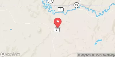
Slater Fork Near Slater, Co. Realtime Data
SLATER FORK NEAR SLATER, CO.
Realtime Data • Report • Conditions
15
Discharge (cfs)
5.2
Gauge Height (ft)
USGS 09255000
Streamflow discharge was last observed at 15 cfs, and a gauge height of 5.19 feet.
With the
% decrease since yesterday,
the streamflow average over the past 10 days is 29 .
Weather today, Tomorrow,
It is primarily fed by snowmelt and experiences peak flow in late spring/early summer. There are no major dams on the Slater Fork, but there are several smaller diversion structures used for irrigation. The hydrology of this area is of particular interest to researchers due to its unique geology and potential impacts from climate change. One interesting fact is that the Slater Fork was named after an early settler in the area, George Slater, who operated a sawmill along the creek in the late 1800s.
October 22, 2026
| Elevation | 6,589.0 ft |
| Last Updated | |
| Gage height, ft | 5.19 ft |
| Precipitation, total, in | 0.0 in |
| Stream water level elevation above NAVD 1988, in ft | 6576.67 ft |
| Streamflow, ft³/s | 14.9 ft3/s |
| Percent of Normal | 71% |
| Year Over Year Average | 21 cfs |
| 24hr Flow Prediction | cfs |
| Maximum Recorded | 1,890 cfs |
| Geolocation | 40.98, -107.38 |
 Continue with Snoflo Premium