

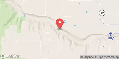
Smith Fork Near Lazear, Co. Realtime Data
SMITH FORK NEAR LAZEAR, CO.
Realtime Data • Report • Conditions
0
Discharge (cfs)
2.9
Gauge Height (ft)
Streamflow discharge was last observed at 0 cfs, and a gauge height of 2.88 feet.
With the
% decrease since yesterday,
the streamflow average over the past 10 days is 0 .
Weather today, Tomorrow,
The river is fed by snowmelt and precipitation, and seasonal trends show higher flows in the spring and early summer. There are no significant tributaries or dams in the immediate vicinity of the gauge. The hydrology of the Smith Fork is interesting due to its location in a semi-arid region where water resources are limited. Additionally, the river has been designated as a Wild and Scenic River, meaning it is protected for its natural, scenic, and recreational values. It is an important habitat for several species of fish, including the federally threatened Colorado River cutthroat trout.
July 14, 2026
| Elevation | 5,843.0 ft |
| Last Updated | |
| Gage height, ft | 2.88 ft |
| Precipitation, total, in | 0.0 in |
| Stream water level elevation above NAVD 1988, in ft | 5850.75 ft |
| Streamflow, ft³/s | 0.0 ft3/s |
| Percent of Normal | 0% |
| Year Over Year Average | 1 cfs |
| 24hr Flow Prediction | cfs |
| Maximum Recorded | 521 cfs |
| Geolocation | 38.71, -107.71 |
 Continue with Snoflo Premium