

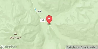
South Fork Of Williams Fork Near Leal, Co. Realtime Data
SOUTH FORK OF WILLIAMS FORK NEAR LEAL, CO.
Realtime Data • Report • Conditions
6
Discharge (cfs)
2.2
Gauge Height (ft)
Streamflow discharge was last observed at 6 cfs, and a gauge height of 2.24 feet.
With the
% decrease since yesterday,
the streamflow average over the past 10 days is 6 .
Weather today, Tomorrow,
The primary constituents of the river are snowmelt and rainwater. There are several potential tributaries that feed into the river, including the Williams Fork Reservoir and several smaller creeks. The river experiences seasonal fluctuations, with higher flows in the spring and early summer due to snowmelt, and lower flows in the fall and winter. One interesting fact about the hydrology of the river is that it is located in a semi-arid region, which means that water is a valuable resource and must be carefully managed to ensure sustainability for both human and ecological needs.
October 13, 2026
| Elevation | 8,966.0 ft |
| Last Updated | |
| Gage height, ft | 2.24 ft |
| Streamflow, ft³/s | 5.68 ft3/s |
| Percent of Normal | 46% |
| Year Over Year Average | 12 cfs |
| 24hr Flow Prediction | cfs |
| Maximum Recorded | 553 cfs |
| Geolocation | 39.80, -106.03 |
 Continue with Snoflo Premium