

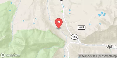
South Fork San Miguel River Near Ophir Realtime Data
SOUTH FORK SAN MIGUEL RIVER NEAR OPHIR
Realtime Data • Report • Conditions
67
Discharge (cfs)
1.9
Gauge Height (ft)
USGS 09171310
Streamflow discharge was last observed at 67 cfs, and a gauge height of 1.89 feet.
With the
% decrease since yesterday,
the streamflow average over the past 10 days is 71 .
Weather today, Tomorrow,
The river is fed by snowmelt and precipitation, with potential tributaries including the Ingram Creek, Trout Lake Creek, and Bear Creek. It is affected seasonally, with peak flow occurring during the spring and early summer due to snowmelt. The river provides water for irrigation, recreation, and wildlife habitats in the region. Interestingly, the South Fork San Miguel River is known for its exceptional fly fishing opportunities, with the presence of rainbow, brown, and brook trout.
October 21, 2026
| Elevation | 8,502.0 ft |
| Last Updated | |
| Gage height, ft | 1.89 ft |
| Stream water level elevation above NAVD 1988, in ft | 8486.22 ft |
| Streamflow, ft³/s | 66.6 ft3/s |
| Percent of Normal | 195% |
| Year Over Year Average | 34 cfs |
| 24hr Flow Prediction | cfs |
| Maximum Recorded | 630 cfs |
| Geolocation | 37.87, -107.89 |
 Continue with Snoflo Premium