

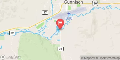
Tomichi Creek At Gunnison, Co. Realtime Data
TOMICHI CREEK AT GUNNISON, CO.
Realtime Data • Report • Conditions
118
Discharge (cfs)
1.6
Gauge Height (ft)
USGS 09119000
Streamflow discharge was last observed at 118 cfs, and a gauge height of 1.60 feet.
With the
% decrease since yesterday,
the streamflow average over the past 10 days is 99 .
Weather today, Tomorrow,
The flow is sourced from snowmelt and precipitation in the surrounding mountains. There are no major dams on the creek, but there are several small diversion structures for irrigation. The flow typically peaks in late May to early June, with low flow in the winter months. Interestingly, Tomichi Creek has been the focus of gold mining in the past, with mining debris still present in the creek today. Additionally, the creek is home to several species of fish, including cutthroat and rainbow trout.
October 22, 2026
| Elevation | 7,637.0 ft |
| Last Updated | |
| Gage height, ft | 1.6 ft |
| Stream water level elevation above NAVD 1988, in ft | 7635.18 ft |
| Streamflow, ft³/s | 118.0 ft3/s |
| Specific conductance, water, unfiltered, microsiemens per centimeter at 25°C | 259.0 uS/cm @25C |
| Temperature, water, °C | 8.0 deg C |
| Percent of Normal | 130% |
| Year Over Year Average | 90 cfs |
| 24hr Flow Prediction | cfs |
| Maximum Recorded | 1,510 cfs |
| Geolocation | 38.52, -106.94 |
 Continue with Snoflo Premium