

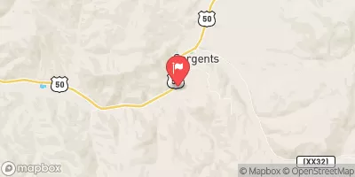
Tomichi Creek At Sargents, Co. Realtime Data
TOMICHI CREEK AT SARGENTS, CO.
Realtime Data • Report • Conditions
30
Discharge (cfs)
0.9
Gauge Height (ft)
USGS 09115500
Streamflow discharge was last observed at 30 cfs, and a gauge height of 0.93 feet.
With the
% decrease since yesterday,
the streamflow average over the past 10 days is 19 .
Weather today, Tomorrow,
The primary constituents of the flow are snowmelt and spring runoff, with occasional contributions from summer thunderstorms. The stream is fed by several smaller tributaries, including the North Fork and East Tomichi Creek. There are no major dams on the creek. Flow rates typically peak in May and June, and decrease throughout the summer and fall. Interesting hydrological features of the stream include the presence of beaver dams, which can significantly impact local flow rates and water quality.
October 15, 2026
| Elevation | 8,418.0 ft |
| Last Updated | |
| Gage height, ft | 0.93 ft |
| Stream water level elevation above NAVD 1988, in ft | 8416.32 ft |
| Streamflow, ft³/s | 29.7 ft3/s |
| Percent of Normal | 106% |
| Year Over Year Average | 28 cfs |
| 24hr Flow Prediction | cfs |
| Maximum Recorded | 620 cfs |
| Geolocation | 38.40, -106.42 |
 Continue with Snoflo Premium