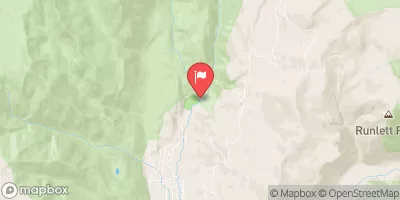
Streamflow discharge was last observed at 26 cfs, and a gauge height of 0.80 feet.
With the
% decrease since yesterday,
the streamflow average over the past 10 days is 27 .
Weather today, Tomorrow,
The main flow providers are snowmelt and rain, with potential tributaries including Pine River and Los Pinos River. Vallecito Reservoir is the main dam in the watershed. Seasonal trends show peak flows occurring in late spring and early summer due to snowmelt, followed by a decrease in flow during the drier summer months. In winter, flows are typically low due to frozen conditions. Interesting fact: Vallecito Creek is the primary source of water for the Vallecito Reservoir, which provides water for irrigation, domestic use, and recreational activities.
| Elevation | 7,925.0 ft |
| Last Updated | |
| Gage height, ft | 0.8 ft |
| Stream water level elevation above NAVD 1988, in ft | 7913.27 ft |
| Temperature, water, °C | 13.9 deg C |
| Streamflow, ft³/s | 26.1 ft3/s |
| Percent of Normal | 43% |
| Year Over Year Average | 61 cfs |
| 24hr Flow Prediction | cfs |
| Maximum Recorded | 2,610 cfs |
| Geolocation | 37.48, -107.54 |