

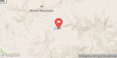
Wightman Fork Bel Cropsy Creek At Summitville, Co Realtime Data
WIGHTMAN FORK BEL CROPSY CREEK AT SUMMITVILLE, CO
Realtime Data • Report • Conditions
1
Discharge (cfs)
1.0
Gauge Height (ft)
Streamflow discharge was last observed at 1 cfs, and a gauge height of 0.99 feet.
With the
% decrease since yesterday,
the streamflow average over the past 10 days is 3 .
Weather today, Tomorrow,
The primary contributors to this flow are snowmelt and precipitation. There are no significant tributaries or dams in the immediate area. Seasonal trends show a peak in flow during the spring and early summer due to snowmelt, while the flow decreases in the fall and winter. Interesting facts about the hydrology of this stream include the historical impact of mining activities in the area, which have resulted in acid mine drainage and contamination of the water. Monitoring the flow of the Wightman Fork is important for understanding the health of the watershed and managing potential environmental risks.
October 7, 2026
| Elevation | 11,111.0 ft |
| Last Updated | |
| Gage height, feet | 0.99 ft |
| Streamflow, ft3/s | 0.76 ft3/s |
| Percent of Normal | 37% |
| Year Over Year Average | 2 cfs |
| 24hr Flow Prediction | cfs |
| Maximum Recorded | 83 cfs |
| Geolocation | 37.43, -106.58 |
 Continue with Snoflo Premium