

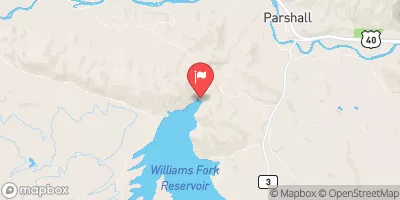
Williams Fork Below Williams Fork Reservoir, Co. Realtime Data
WILLIAMS FORK BELOW WILLIAMS FORK RESERVOIR, CO.
Realtime Data • Report • Conditions
95
Discharge (cfs)
1.5
Gauge Height (ft)
USGS 09038500
Streamflow discharge was last observed at 95 cfs, and a gauge height of 1.49 feet.
With the
% decrease since yesterday,
the streamflow average over the past 10 days is 85 .
Weather today, Tomorrow,
The main contributor to the flow is snowmelt from the surrounding mountains. It also receives water from the Williams Fork River and its tributaries. The reservoir is created by the Williams Fork Dam, which was completed in 1959. The flow is typically highest in the late spring and early summer as snowmelt peaks. The hydrology is notable for its role in providing water for agriculture and municipal use in the region. Interestingly, the reservoir is also a popular destination for fishing, camping, and other recreational activities.
October 23, 2026
| Elevation | 7,718.0 ft |
| Last Updated | |
| Gage height, ft | 1.49 ft |
| Stream water level elevation above NAVD 1988, in ft | 7618.02 ft |
| Streamflow, ft³/s | 95.3 ft3/s |
| Percent of Normal | 96% |
| Year Over Year Average | 100 cfs |
| 24hr Flow Prediction | cfs |
| Maximum Recorded | 1,200 cfs |
| Geolocation | 40.04, -106.21 |
 Continue with Snoflo Premium