

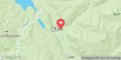
Williams Fork Near Leal, Co. Realtime Data
WILLIAMS FORK NEAR LEAL, CO.
Realtime Data • Report • Conditions
15
Discharge (cfs)
1.4
Gauge Height (ft)
Streamflow discharge was last observed at 15 cfs, and a gauge height of 1.44 feet.
With the
% decrease since yesterday,
the streamflow average over the past 10 days is 15 .
Weather today, Tomorrow,
The river originates in the Williams Fork Mountains and is fed by several smaller streams and tributaries including the Fraser River. The Williams Fork Reservoir is the largest dam on the river and provides water for irrigation and recreation. Seasonal trends show peak flow in June due to snowmelt, and lowest flow in late fall and winter. Interestingly, the Williams Fork River was once home to a thriving population of native cutthroat trout, but now only non-native species can be found due to past overfishing and introduction of non-native species.
October 22, 2026
| Elevation | 8,788.0 ft |
| Last Updated | |
| Gage height, ft | 1.44 ft |
| Streamflow, ft³/s | 15.3 ft3/s |
| Precipitation, total, in | 0.0 in |
| Stream water level elevation above NAVD 1988, in ft | 8787.83 ft |
| Percent of Normal | 48% |
| Year Over Year Average | 32 cfs |
| 24hr Flow Prediction | cfs |
| Maximum Recorded | 1,480 cfs |
| Geolocation | 39.83, -106.06 |
 Continue with Snoflo Premium