

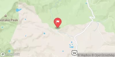
Wurtz Ditch Near Tenneessee Pass, Co. Realtime Data
WURTZ DITCH NEAR TENNEESSEE PASS, CO.
Realtime Data • Report • Conditions
0
Discharge (cfs)
0.0
Gauge Height (ft)
Streamflow discharge was last observed at 0 cfs, and a gauge height of 0.02 feet.
With the
% decrease since yesterday,
the streamflow average over the past 10 days is 0 .
Weather today, Tomorrow,
The ditch is fed by snowmelt and precipitation, and runs through a diverse landscape of forests and meadows. There are no significant tributaries or dams along the ditch, except for a small diversion dam near its headwaters. Seasonal trends show higher flows during the spring and early summer months when snowmelt is abundant, and lower flows during the fall and winter months. Interestingly, the ditch was built by hand in the late 1800s by German immigrants, and today serves as an important source of irrigation water for local ranches and agricultural lands.
September 22, 2026
| Elevation | 10,597.0 ft |
| Last Updated | |
| Gage height, feet | 0.02 ft |
| Streamflow, ft3/s | 0.0 ft3/s |
| Percent of Normal | % |
| Year Over Year Average | cfs |
| 24hr Flow Prediction | cfs |
| Maximum Recorded | 85 cfs |
| Geolocation | 39.36, -106.35 |
 Continue with Snoflo Premium