

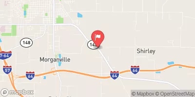
Casey Fork At Mount Vernon, Il Realtime Data
CASEY FORK AT MOUNT VERNON, IL
Realtime Data • Report • Conditions
2
Discharge (cfs)
1.6
Gauge Height (ft)
Streamflow discharge was last observed at 2 cfs, and a gauge height of 1.58 feet.
With the
% decrease since yesterday,
the streamflow average over the past 10 days is 2 .
Weather today, Tomorrow,
The stream's flow is affected by rainfall, snowmelt, and a nearby dam, and it provides water to several local communities. The most significant seasonal trends are related to precipitation, with higher flow rates occurring in the spring and lower rates in the summer and fall. Interestingly, the Casey Fork is known for its high water clarity, which makes it ideal for fishing and other recreational activities. This streamgauge is an important tool for monitoring the water levels in the Casey Fork and ensuring the safety of nearby communities.
October 23, 2026
| Elevation | 441.0 ft |
| Last Updated | |
| Gage height, ft | 1.58 ft |
| Streamflow, ft³/s | 2.05 ft3/s |
| Percent of Normal | 38% |
| Year Over Year Average | 6 cfs |
| 24hr Flow Prediction | cfs |
| Maximum Recorded | 4,990 cfs |
| Geolocation | 38.29, -88.87 |
 Continue with Snoflo Premium