

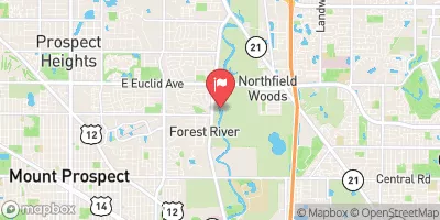
Des Plaines River Near Des Plaines, Il Realtime Data
DES PLAINES RIVER NEAR DES PLAINES, IL
Realtime Data • Report • Conditions
58
Discharge (cfs)
8.9
Gauge Height (ft)
Streamflow discharge was last observed at 58 cfs, and a gauge height of 8.85 feet.
With the
% decrease since yesterday,
the streamflow average over the past 10 days is 174 .
Weather today, Tomorrow,
The river is fed by several tributaries, including the Salt Creek and the North Branch of the Chicago River, and is impounded by the Dam Number 1 and the Lockport Powerhouse. The river exhibits seasonal trends, with peak flows usually occurring in spring and fall, and low flows in summer and winter. Some quirky and interesting facts about the hydrology of the Des Plaines River include its historical role as a trade route for Native Americans and early settlers, and its current status as a recreational resource for fishing, boating, and hiking.
October 23, 2026
| Elevation | 625.0 ft |
| Last Updated | |
| Gage height, ft | 8.85 ft |
| Streamflow, ft³/s | 58.3 ft3/s |
| Percent of Normal | 52% |
| Year Over Year Average | 114 cfs |
| 24hr Flow Prediction | cfs |
| Maximum Recorded | 5,000 cfs |
| Geolocation | 42.08, -87.89 |
 Continue with Snoflo Premium