

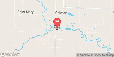
La Moine River At Colmar, Il Realtime Data
LA MOINE RIVER AT COLMAR, IL
Realtime Data • Report • Conditions
98
Discharge (cfs)
4.5
Gauge Height (ft)
USGS 05584500
Streamflow discharge was last observed at 98 cfs, and a gauge height of 4.48 feet.
With the
% decrease since yesterday,
the streamflow average over the past 10 days is 150 .
Weather today, Tomorrow,
The river's flow is primarily provided by rainfall and snowmelt. The La Moine River is not known to have any significant tributaries or dams in the area. Seasonally, the river experiences higher flow rates in the spring due to increased snowmelt and rainfall. The river's hydrology is unique as it is known to partially dry up during droughts. Additionally, the river is home to diverse aquatic life, including several endangered species, making it an essential ecosystem for conservation efforts.
October 16, 2026
| Elevation | 511.0 ft |
| Last Updated | |
| Gage height, ft | 4.48 ft |
| Streamflow, ft³/s | 98.0 ft3/s |
| Percent of Normal | 329% |
| Year Over Year Average | 30 cfs |
| 24hr Flow Prediction | cfs |
| Maximum Recorded | 31,300 cfs |
| Geolocation | 40.33, -90.90 |
 Continue with Snoflo Premium