

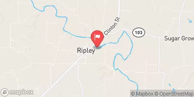
La Moine River At Ripley, Il Realtime Data
LA MOINE RIVER AT RIPLEY, IL
Realtime Data • Report • Conditions
265
Discharge (cfs)
6.1
Gauge Height (ft)
Streamflow discharge was last observed at 265 cfs, and a gauge height of 6.07 feet.
With the
% decrease since yesterday,
the streamflow average over the past 10 days is 471 .
Weather today, Tomorrow,
The river is mainly fed by precipitation and surface runoff. There are no major tributaries or dams in the immediate vicinity of the gauge. The flow rate of the river varies seasonally, with higher flows in the spring due to snowmelt and heavy rainfall, and lower flows in summer and fall. Interesting facts about the hydrology of the river include its importance for agriculture and its role in maintaining water quality in the Illinois River Watershed. College students interested in hydrology or environmental science may find the La Moine River at Ripley, IL gauge data useful for their research.
October 11, 2026
| Elevation | 467.0 ft |
| Last Updated | |
| Gage height, ft | 6.07 ft |
| Streamflow, ft³/s | 265.0 ft3/s |
| Percent of Normal | 557% |
| Year Over Year Average | 48 cfs |
| 24hr Flow Prediction | cfs |
| Maximum Recorded | 36,200 cfs |
| Geolocation | 40.02, -90.63 |
 Continue with Snoflo Premium