

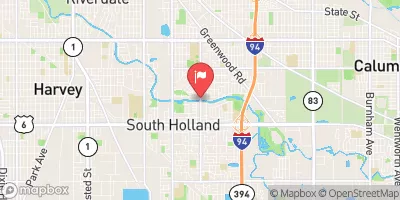
Little Calumet River At South Holland, Il Realtime Data
LITTLE CALUMET RIVER AT SOUTH HOLLAND, IL
Realtime Data • Report • Conditions
71
Discharge (cfs)
5.6
Gauge Height (ft)
Streamflow discharge was last observed at 71 cfs, and a gauge height of 5.64 feet.
With the
% decrease since yesterday,
the streamflow average over the past 10 days is 84 .
Weather today, Tomorrow,
The river is part of a larger watershed that includes several tributaries, including Thorn Creek, Halsted Creek, and Stony Creek. There are several dams located along the river, including the Burnham Dam and the West Pullman Dam. Seasonal trends in the river's flow are influenced by snowmelt in the spring and increased rainfall in the summer months. Interestingly, the Little Calumet River was the site of a major environmental disaster in 2005, when a train carrying hazardous materials derailed and spilled chemicals into the river, causing widespread contamination.
October 15, 2026
| Elevation | 596.0 ft |
| Last Updated | |
| Gage height, ft | 5.64 ft |
| Precipitation, total, in | 0.0 in |
| Streamflow, ft³/s | 71.1 ft3/s |
| Percent of Normal | 102% |
| Year Over Year Average | 70 cfs |
| 24hr Flow Prediction | cfs |
| Maximum Recorded | 3,370 cfs |
 Continue with Snoflo Premium