

Little Wabash River At Carmi, Il Realtime Data
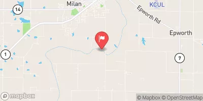
LITTLE WABASH RIVER AT CARMI, IL
Realtime Data • Report • Conditions
29
Discharge (cfs)
2.0
Gauge Height (ft)
USGS 03381500
Streamflow discharge was last observed at 29 cfs, and a gauge height of 2.04 feet.
With the
% decrease since yesterday,
the streamflow average over the past 10 days is 48 .
Weather today, Tomorrow,
The primary sources of flow are precipitation and runoff from surrounding areas. The river has several small tributaries, including the south fork and Brush Creek. There are no significant dams on the river. Seasonal trends show higher flows in the spring due to snowmelt and increased precipitation, while summer and fall have lower flows. Interesting facts include the river's role in early transportation and its connection to the Underground Railroad. The river is also a popular spot for fishing and recreational activities.
October 23, 2026
| Elevation | 419.0 ft |
| Last Updated | |
| Gage height, ft | 2.04 ft |
| Nitrate plus nitrite, water, in situ, mg/L as N | 0.4 mg/l as N |
| Streamflow, ft³/s | 29.0 ft3/s |
| Turbidity, water, unfiltered, monochrome near infra-red LED light, 780-900 nm, detection angle 90 ±2.5°, formazin nephelometric units (FNU) | 32.1 FNU |
| Nitrate plus nitrite, water, unfiltered, pounds of nitrogen per day | 128.0 lb/d as N |
| Percent of Normal | 12% |
| Year Over Year Average | 246 cfs |
| 24hr Flow Prediction | cfs |
| Maximum Recorded | 54,800 cfs |
 Continue with Snoflo Premium