

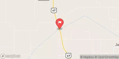
Macoupin Creek Near Kane, Il Realtime Data
MACOUPIN CREEK NEAR KANE, IL
Realtime Data • Report • Conditions
9
Discharge (cfs)
3.8
Gauge Height (ft)
Streamflow discharge was last observed at 9 cfs, and a gauge height of 3.76 feet.
With the
% decrease since yesterday,
the streamflow average over the past 10 days is 10 .
Weather today, Tomorrow,
The creek is fed by various tributaries and precipitation. There are no known dams on this particular creek. The flow of water in the creek is typically highest during the spring when snowmelt and spring rains increase the amount of water in the watershed. During the summer and fall, the flow decreases as water levels drop and less precipitation falls. Interesting facts about the creek include its role in providing habitat for various fish species and its importance in maintaining water quality in the surrounding area. Students studying hydrology or environmental science may find the Macoupin Creek stream gauge near Kane, IL to be a valuable resource for their studies.
October 11, 2026
| Elevation | 445.0 ft |
| Last Updated | |
| Gage height, ft | 3.76 ft |
| Streamflow, ft³/s | 8.64 ft3/s |
| Percent of Normal | 46% |
| Year Over Year Average | 19 cfs |
| 24hr Flow Prediction | cfs |
| Maximum Recorded | 29,900 cfs |
| Geolocation | 39.23, -90.39 |
 Continue with Snoflo Premium