

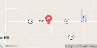
Robinson Creek Near Shelbyville, Il Realtime Data
ROBINSON CREEK NEAR SHELBYVILLE, IL
Realtime Data • Report • Conditions
1
Discharge (cfs)
2.8
Gauge Height (ft)
Streamflow discharge was last observed at 1 cfs, and a gauge height of 2.82 feet.
With the
% decrease since yesterday,
the streamflow average over the past 10 days is 11 .
Weather today, Tomorrow,
The creek is fed by several smaller streams and drains an area of about 62 square miles. There are no major dams on the creek, but it is subject to seasonal fluctuations, with higher flows typically occurring during the spring and fall. Interestingly, the creek is known for its high variability in flow rates, with rapid changes in water levels occurring in response to precipitation events. Overall, the Robinson Creek near Shelbyville, IL streamgauge provides important data for understanding the hydrology of this region and managing water resources.
October 13, 2026
| Elevation | 616.0 ft |
| Last Updated | |
| Gage height, ft | 2.82 ft |
| Streamflow, ft³/s | 1.39 ft3/s |
| Percent of Normal | 106% |
| Year Over Year Average | 1 cfs |
| 24hr Flow Prediction | cfs |
| Maximum Recorded | 6,360 cfs |
| Geolocation | 39.40, -88.89 |
 Continue with Snoflo Premium