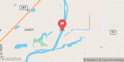
Streamflow discharge was last observed at 6,050 cfs, and a gauge height of 6.52 feet.
With the
% decrease since yesterday,
the streamflow average over the past 10 days is 7,878 .
Weather today, Tomorrow,
The main constituents of the river are precipitation, runoff, and groundwater. The river has a few significant tributaries, including the Green River and the Pecatonica River, and there are several dams along its length. Seasonal trends show that the river experiences high flows in the spring due to snowmelt and precipitation, while low flows occur in the summer and fall. An interesting fact about the hydrology of the Rock River is that it is a meandering river, which means its course changes over time due to erosion and sediment deposition. Overall, understanding the hydrology of the Rock River can help inform water management decisions in the region.
| Elevation | 588.0 ft |
| Last Updated | |
| Gage height, ft | 6.52 ft |
| Nitrate plus nitrite, water, in situ, mg/L as N | 4.3 mg/l as N |
| Temperature, water, degC | 1.1 deg C |
| Streamflow, ft³/s | 6050.0 ft3/s |
| Specific conductance, water, unfiltered, microsiemens per centimeter at 25°C | 647.0 uS/cm @25C |
| Orthophosphate, water, in situ, milligrams per liter as phosphorus | 0.036 mg/l as P |
| Dissolved oxygen, water, unfiltered, mg/L | 14.6 mg/l |
| Turbidity, water, unfiltered, monochrome near infra-red LED light, 780-900 nm, detection angle 90 ±2.5°, formazin nephelometric units (FNU) | 6.9 FNU |
| pH, water, unfiltered, field, standard units | 8.4 std units |
| Nitrate plus nitrite, water, unfiltered, pounds of nitrogen per day | 140000.0 lb/d as N |
| Percent of Normal | 69% |
| Year Over Year Average | 8,835 cfs |
| 24hr Flow Prediction | cfs |
| Maximum Recorded | 46,600 cfs |