

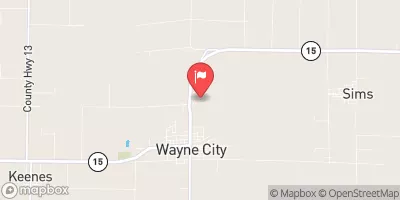
Skillet Fork At Wayne City, Il Realtime Data
SKILLET FORK AT WAYNE CITY, IL
Realtime Data • Report • Conditions
13
Discharge (cfs)
5.1
Gauge Height (ft)
Streamflow discharge was last observed at 13 cfs, and a gauge height of 5.11 feet.
With the
% decrease since yesterday,
the streamflow average over the past 10 days is 37 .
Weather today, Tomorrow,
The main flow providers and constituents of the river include precipitation, snowmelt, and runoff from agricultural fields. The river is not associated with any major tributaries or dams. Seasonal trends show that the river typically experiences peak flows in the spring and early summer due to snowmelt and heavy rains. However, during the summer, the flow decreases due to lower precipitation levels. The hydrology of the Skillet Fork River is not particularly quirky or interesting, but the monitoring station provides valuable data for water management and flood control.
August 27, 2026
| Elevation | 387.0 ft |
| Last Updated | |
| Gage height, ft | 5.11 ft |
| Streamflow, ft³/s | 12.9 ft3/s |
| Percent of Normal | 129% |
| Year Over Year Average | 10 cfs |
| 24hr Flow Prediction | cfs |
| Maximum Recorded | 30,000 cfs |
| Geolocation | 38.36, -88.58 |
 Continue with Snoflo Premium