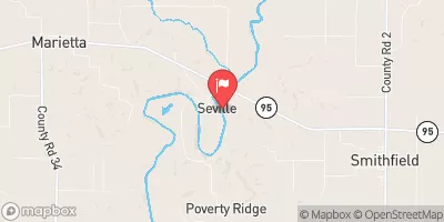
Streamflow discharge was last observed at 949 cfs, and a gauge height of 7.73 feet.
With the
% decrease since yesterday,
the streamflow average over the past 10 days is 1,238 .
Weather today, Tomorrow,
The river is not influenced by any major tributaries or dams in the area. Seasonal trends show higher flow in the spring due to snowmelt and rainfall, and lower flow in the summer and fall. Additionally, the Spoon River has a history of flooding, with the highest recorded flood occurring in 1943. A unique fact about the hydrology of the Spoon River is that it is known for its extensive mussel beds, which provide habitat for a variety of aquatic species.
| Elevation | 498.0 ft |
| Last Updated | |
| Gage height, ft | 7.73 ft |
| Streamflow, ft³/s | 949.0 ft3/s |
| Temperature, air, °C | 24.0 deg C |
| Temperature, water, degC | 11.6 deg C |
| Lower 90 percent prediction limit for SSC by regression (PCODE 99409), milligrams per liter | 26.0 mg/l |
| Upper 90 percent prediction limit for SSC by regression (PCODE 99409), milligrams per liter | 114.0 mg/l |
| Suspended sediment concentration, water, unfiltered, estimated by regression equation, mg/L | 54.0 mg/l |
| Sediment corrected acoustic backscatter (SCB), decibels | 79.5 dB |
| Percent of Normal | 101% |
| Year Over Year Average | 937 cfs |
| 24hr Flow Prediction | cfs |
| Maximum Recorded | 40,100 cfs |