

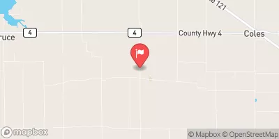
Whitley Creek Near Allenville, Il Realtime Data
WHITLEY CREEK NEAR ALLENVILLE, IL
Realtime Data • Report • Conditions
1
Discharge (cfs)
2.3
Gauge Height (ft)
USGS 05591550
Streamflow discharge was last observed at 1 cfs, and a gauge height of 2.27 feet.
With the
% decrease since yesterday,
the streamflow average over the past 10 days is 2 .
Weather today, Tomorrow,
The constituents of the flow are likely influenced by the agricultural land use in the surrounding area. There are no significant tributaries or dams specifically related to the Whitley Creek. Seasonal trends show that flow is highest in the spring due to snowmelt and rainfall, and lowest in late summer and early fall. An interesting fact about the hydrology of this area is that the Whitley Creek is a small part of the larger Kaskaskia River basin, which flows into the Mississippi River.
August 26, 2026
| Elevation | 625.0 ft |
| Last Updated | |
| Gage height, ft | 2.27 ft |
| Streamflow, ft³/s | 0.95 ft3/s |
| Percent of Normal | 141% |
| Year Over Year Average | 1 cfs |
| 24hr Flow Prediction | cfs |
| Maximum Recorded | 2,390 cfs |
| Geolocation | 39.51, -88.53 |
 Continue with Snoflo Premium