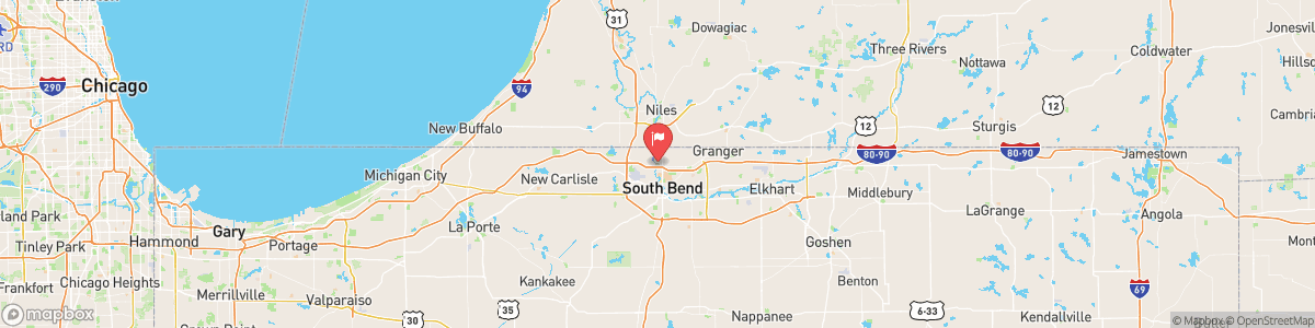
JUDAY CREEK NEAR SOUTH BEND
USGS 04101370

FLOOD WATCH
* WHAT...Flash flooding caused by excessive rainfall continues to be possible. * WHERE...Portions of northern Indiana, including the following areas, Adams, Allen IN, Blackford, De Kalb, Eastern St. Joseph IN, Elkhart, Fulton IN, Grant, Huntington, Jay, Lagrange, Marshall, Miami, Noble, Northern Kosciusko, Northern La Porte, Southern Kosciusko, Southern La Porte, Starke, Steuben, Wabash, Wells, Western St. Joseph IN and Whitley, southwest Michigan, including the following areas, Branch, Cass MI, Northern Berrien, Southern Berrien and St. ...
Today, Showers and possibly a thunderstorm. Low around 66. Calm wind. Chance of precipitation is 100%. New rainfall amounts between a tenth and quarter of an inch, except higher amounts possible in thunderstorms.
Tomorrow, Showers and possibly a thunderstorm. Low around 66. Calm wind. Chance of precipitation is 100%. New rainfall amounts between a tenth and quarter of an inch, except higher amounts possible in thunderstorms.
5-Day Forecast
Long Term Forecast
16-Day Forecast
Get More With Premium