 Get More With Premium


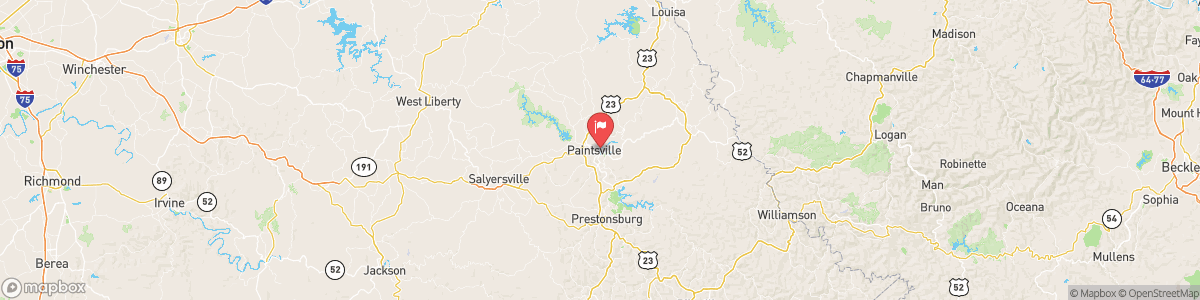
LEVISA FORK AT PAINTSVILLE
USGS 03212500

Today, A chance of showers and thunderstorms, then showers likely and possibly a thunderstorm after 4am. Patchy fog after 5am. Otherwise, cloudy, with a steady temperature around 70. Calm wind. Chance of precipitation is 60%. New rainfall amounts between a tenth and quarter of an inch, except higher amounts possible in thunderstorms.
Tomorrow, A chance of showers and thunderstorms, then showers likely and possibly a thunderstorm after 4am. Patchy fog after 5am. Otherwise, cloudy, with a steady temperature around 70. Calm wind. Chance of precipitation is 60%. New rainfall amounts between a tenth and quarter of an inch, except higher amounts possible in thunderstorms.
5-Day Forecast
Long Term Forecast
16-Day Forecast

