

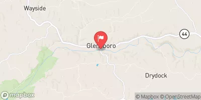
Salt River At Glensboro, Ky Realtime Data
SALT RIVER AT GLENSBORO, KY
Realtime Data • Report • Conditions
11
Discharge (cfs)
2.7
Gauge Height (ft)
Streamflow discharge was last observed at 11 cfs, and a gauge height of 2.71 feet.
With the
% decrease since yesterday,
the streamflow average over the past 10 days is 15 .
Weather today, Tomorrow,
The flow of the river is influenced by precipitation, snowmelt, and agricultural runoff. The nearby Taylorsville Dam regulates the flow of the river, which can impact the water levels downstream. During the summer months, the river experiences lower flows due to increased evaporation and vegetation uptake. Interesting fact: The Salt River was originally named "Big Salt Lick Creek" due to the large salt deposits found in the area, which attracted wildlife such as buffalo and deer. Today, the river is a popular spot for fishing and recreational activities.
October 3, 2026
| Elevation | 594.0 ft |
| Last Updated | |
| Gage height, ft | 2.71 ft |
| Streamflow, ft³/s | 11.2 ft3/s |
| Precipitation, total, in | 0.0 in |
| Percent of Normal | 89% |
| Year Over Year Average | 13 cfs |
| 24hr Flow Prediction | cfs |
| Maximum Recorded | 10,200 cfs |
 Continue with Snoflo Premium