* WHAT...Visibility at or below one-quarter mile in dense fog.
* WHERE...Portions of Eastern Upper and Northern Lower Michigan.
* WHEN...Until noon EDT today.
* IMPACTS...Low visibility could make driving conditions hazardous.
Dense Fog Advisory
Until 2026-10-23T12:00:00-04:00
•
National Weather Service
* WHAT...Visibility at or below one-quarter mile in dense fog.
* WHERE...Portions of Eastern Upper and Northern Lower Michigan.
* WHEN...Until noon EDT today.
* IMPACTS...Low visibility could make driving conditions hazardous.
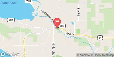
PLATTE RIVER AT HONOR, MI
Realtime Data
•
Report
•
Conditions
125
Discharge (cfs)
1.3
Gauge Height (ft)
Streamflow discharge was last observed at 125 cfs, and a gauge height of 1.32 feet.
With the
% decrease since yesterday,
the streamflow average over the past 10 days is 135 .
Weather today, Tomorrow,
The main flow providers are snowmelt and rainfall, with peak flow occurring in the spring. The river is also affected by the presence of dams, including the Otter Creek Dam and the Platte River Dam. Seasonal trends include higher flow in the spring and lower flow in the summer and fall. Interesting facts include the river's designation as a National Wild and Scenic River and the presence of migratory fish species such as steelhead and salmon.
October 23, 2026
Elevation
606.0 ft
Last Updated
Gage height, ft
1.32 ft
Streamflow, ft³/s
125.0 ft3/s
Stream water level elevation above NAVD 1988, in ft