

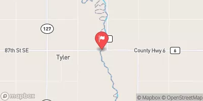
Bois De Sioux River Near Doran, Mn Realtime Data
BOIS DE SIOUX RIVER NEAR DORAN, MN
Realtime Data • Report • Conditions
0
Discharge (cfs)
5.6
Gauge Height (ft)
Streamflow discharge was last observed at 0 cfs, and a gauge height of 5.59 feet.
With the
% decrease since yesterday,
the streamflow average over the past 10 days is 1 .
Weather today, Tomorrow,
The river is a tributary of the Red River of the North and its flow is influenced by snowmelt and precipitation. The watershed of the Bois de Sioux River is primarily agricultural and includes several smaller tributaries. There are no major dams on the river, but several small dams and culverts have been installed to manage water levels. Seasonal trends include high flow in the spring and low flow in the winter. Interesting facts about the hydrology of the Bois de Sioux River include its role in the history of the region, as it was an important transportation route for Native American tribes and early settlers.
October 15, 2026
| Elevation | 957.0 ft |
| Last Updated | |
| Gage height, ft | 5.59 ft |
| Streamflow, ft³/s | 0.22 ft3/s |
| Stream water level elevation above NAVD 1988, in ft | 949.82 ft |
| Percent of Normal | 1% |
| Year Over Year Average | 50 cfs |
| 24hr Flow Prediction | cfs |
| Maximum Recorded | 6,450 cfs |
| Geolocation | 46.15, -96.58 |
 Continue with Snoflo Premium