

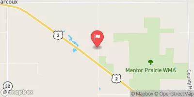
Judicial Ditch 64 Near Mentor, Mn (Sw4) Realtime Data
JUDICIAL DITCH 64 NEAR MENTOR, MN (SW4)
Realtime Data • Report • Conditions
Discharge (cfs)
3.3
Gauge Height (ft)
USGS 05078470
Streamflow discharge was last observed at 43 cfs, and a gauge height of 3.26 feet.
With the
% decrease since yesterday,
the streamflow average over the past 10 days is 4 .
Weather today, Tomorrow,
The primary constituents of the flow are likely agricultural runoff and precipitation. There are no major tributaries or dams in the immediate area, but the nearby Sand Hill River may contribute to the flow. Seasonal trends indicate higher flows in the spring and lower flows in the winter. Interestingly, the hydrology of the area is affected by the glacial history of Minnesota, with sand and gravel often acting as aquifers and contributing to the groundwater system.
October 15, 2026
| Elevation | 1,126.0 ft |
| Last Updated | |
| Gauge Height | 3.26 ft |
| Observed Discharge | cfs |
| Percent of Normal | % |
| Year Over Year Average | cfs |
| 24hr Flow Prediction | cfs |
| Maximum Recorded | cfs |
| Geolocation | 47.74, -96.20 |
 Continue with Snoflo Premium