

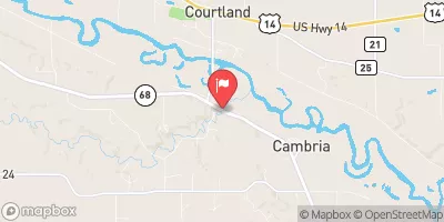
Little Cottonwood River Near Courtland, Mn Realtime Data
LITTLE COTTONWOOD RIVER NEAR COURTLAND, MN
Realtime Data • Report • Conditions
25
Discharge (cfs)
3.2
Gauge Height (ft)
Streamflow discharge was last observed at 25 cfs, and a gauge height of 3.19 feet.
With the
% decrease since yesterday,
the streamflow average over the past 10 days is 15 .
Weather today, Tomorrow,
The flow is primarily provided by precipitation and snowmelt, with some contribution from agricultural irrigation. There are no significant tributaries or dams on this section of the river. The flow is highest during the spring melt and summer rains, and lowest during the winter. Interestingly, this river was used for transportation of goods in the 19th century, with flat-bottomed boats called "gundalows" navigating the shallow waters. However, the river is no longer used for transportation and is primarily used for recreation and wildlife habitat.
October 22, 2026
| Elevation | 810.0 ft |
| Last Updated | |
| Gage height, ft | 3.19 ft |
| Stream water level elevation above NAVD 1988, in ft | 791.65 ft |
| Streamflow, ft³/s | 24.9 ft3/s |
| Percent of Normal | 110% |
| Year Over Year Average | 23 cfs |
| 24hr Flow Prediction | cfs |
| Maximum Recorded | 3,030 cfs |
 Continue with Snoflo Premium