

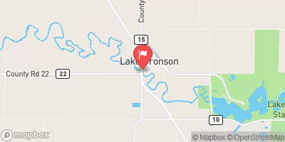
South Branch Two Rivers At Lake Bronson, Mn Realtime Data
SOUTH BRANCH TWO RIVERS AT LAKE BRONSON, MN
Realtime Data • Report • Conditions
3
Discharge (cfs)
3.4
Gauge Height (ft)
Streamflow discharge was last observed at 3 cfs, and a gauge height of 3.40 feet.
With the
% decrease since yesterday,
the streamflow average over the past 10 days is 3 .
Weather today, Tomorrow,
The major flow providers and constituents of the river are precipitation and snowmelt. There are no dams or significant tributaries on this section of the river. The stream flow is mostly dependent on the spring snowmelt, with peak flows occurring in March and April. During the summer months, the flow decreases significantly. Interestingly, the South Branch Two Rivers is home to many species of fish, including walleye, northern pike, and smallmouth bass. Additionally, the river is an important source of water for irrigation and agriculture in the area.
October 23, 2026
| Elevation | 955.0 ft |
| Last Updated | |
| Gage height, ft | 3.4 ft |
| Stream water level elevation above NAVD 1988, in ft | 933.17 ft |
| Streamflow, ft³/s | 3.08 ft3/s |
| Percent of Normal | 32% |
| Year Over Year Average | 10 cfs |
| 24hr Flow Prediction | cfs |
| Maximum Recorded | 3,160 cfs |
| Geolocation | 48.73, -96.67 |
 Continue with Snoflo Premium