

South Fork Zumbro River At Rochester, Mn Realtime Data
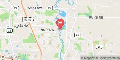
SOUTH FORK ZUMBRO RIVER AT ROCHESTER, MN
Realtime Data • Report • Conditions
103
Discharge (cfs)
2.6
Gauge Height (ft)
Streamflow discharge was last observed at 103 cfs, and a gauge height of 2.61 feet.
With the
% decrease since yesterday,
the streamflow average over the past 10 days is 133 .
Weather today, Tomorrow,
The river is fed by several smaller tributaries and flows through several dams before reaching the streamgauge. The flow is affected by seasonal trends, with higher flow in the spring due to snowmelt and lower flow in the summer and fall. Interesting facts include the river being a popular spot for fishing and recreation, as well as being the location of several historic mills and bridges. Overall, the streamgauge provides important information about the hydrology of the area and helps to inform decisions related to water management and conservation.
October 11, 2026
| Elevation | 951.0 ft |
| Last Updated | |
| Gage height, ft | 2.61 ft |
| Precipitation, total, in | 0.0 in |
| Stream water level elevation above NAVD 1988, in ft | 951.68 ft |
| Streamflow, ft³/s | 103.0 ft3/s |
| Percent of Normal | 111% |
| Year Over Year Average | 92 cfs |
| 24hr Flow Prediction | cfs |
| Maximum Recorded | 8,470 cfs |
| Geolocation | 44.06, -92.47 |
 Continue with Snoflo Premium