Signup for free to access forecast


Continue with a free account

Already Have an Account?


Snoflo Premium

Get unlimited access to all our content

Plus your first week free!

Have a Promo Code?


Already Have an Account?

Signup for a Basic Account


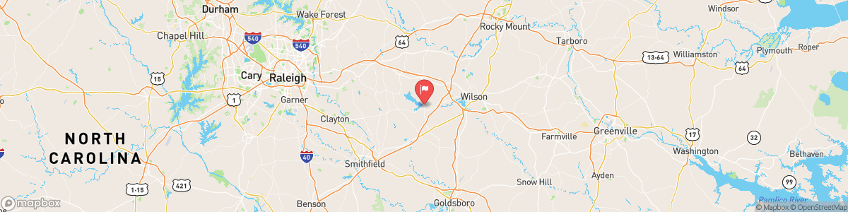
CONTENTNEA CREEK NEAR LUCAMA

Weather Forecast


CONTENTNEA CREEK NEAR LUCAMA

USGS 02090380


SEVERE THUNDERSTORM WARNING
At 418 PM EDT, a severe thunderstorm was located over Smithfield, moving southeast at 20 mph. HAZARD...Ping pong ball size hail and 60 mph wind gusts. SOURCE...Radar indicated. IMPACT...People and animals outdoors will be injured. Expect hail damage to roofs, siding, windows, and vehicles. Expect wind damage to roofs, siding, and trees. Locations impacted include... Smithfield, Wilson, Clayton, Elm City, Fremont, Bailey, Micro, Selma, Pine Level and Kenly. This includes the following highways... Interstate 95 ...

Today, A chance of showers and thunderstorms, then showers likely and possibly a thunderstorm after 5pm. Sunny, with a high near 96. Heat index values as high as 105. West wind around 6 mph becoming calm in the afternoon. Chance of precipitation is 60%. New rainfall amounts between a tenth and quarter of an inch, except higher amounts possible in thunderstorms.


Tomorrow, A chance of showers and thunderstorms, then showers likely and possibly a thunderstorm after 5pm. Sunny, with a high near 96. Heat index values as high as 105. West wind around 6 mph becoming calm in the afternoon. Chance of precipitation is 60%. New rainfall amounts between a tenth and quarter of an inch, except higher amounts possible in thunderstorms.


5-Day Forecast


Leave A Review


Submit

Upload an Image


Favorite Limit Reached
OR

Return to the Contentnea Creek Near Lucama Flow Report