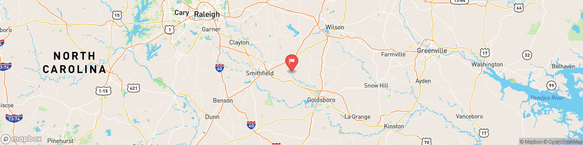
LITTLE RIVER NEAR PRINCETON
USGS 02088500

SEVERE THUNDERSTORM WARNING
At 418 PM EDT, a severe thunderstorm was located over Smithfield, moving southeast at 20 mph. HAZARD...Ping pong ball size hail and 60 mph wind gusts. SOURCE...Radar indicated. IMPACT...People and animals outdoors will be injured. Expect hail damage to roofs, siding, windows, and vehicles. Expect wind damage to roofs, siding, and trees. Locations impacted include... Smithfield, Wilson, Clayton, Elm City, Fremont, Bailey, Micro, Selma, Pine Level and Kenly. This includes the following highways... Interstate 95 ...
Today, A chance of showers and thunderstorms, mainly after 4pm. Sunny and hot, with a high near 97. Heat index values as high as 105. West wind around 6 mph becoming calm in the afternoon. Chance of precipitation is 30%. New rainfall amounts between a tenth and quarter of an inch, except higher amounts possible in thunderstorms.
Tomorrow, A chance of showers and thunderstorms, mainly after 4pm. Sunny and hot, with a high near 97. Heat index values as high as 105. West wind around 6 mph becoming calm in the afternoon. Chance of precipitation is 30%. New rainfall amounts between a tenth and quarter of an inch, except higher amounts possible in thunderstorms.
5-Day Forecast
Long Term Forecast
16-Day Forecast

Get More With Premium