

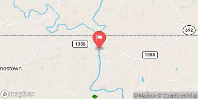
Mayo River Near Price, Nc Realtime Data
MAYO RIVER NEAR PRICE, NC
Realtime Data • Report • Conditions
75
Discharge (cfs)
0.8
Gauge Height (ft)
USGS 02070500
Streamflow discharge was last observed at 75 cfs, and a gauge height of 0.79 feet.
With the
% decrease since yesterday,
the streamflow average over the past 10 days is 89 .
Weather today, Tomorrow,
The river is primarily fed by rainwater and tributaries such as Little Mayo Creek and Big Mayo Creek. There are no major dams on the Mayo River, but there are some smaller ones that can impact flow. Seasonally, the river experiences higher flows in the spring due to snowmelt and rainfall, while lower flows occur in the fall and winter. In the summer, the river can experience significant fluctuations due to thunderstorms. Interestingly, the Mayo River was named after the Native American tribe that once inhabited the area.
October 9, 2026
| Elevation | 694.0 ft |
| Last Updated | |
| Gage height, ft | 0.79 ft |
| Streamflow, ft³/s | 74.8 ft3/s |
| Percent of Normal | 42% |
| Year Over Year Average | 180 cfs |
| 24hr Flow Prediction | cfs |
| Maximum Recorded | 11,100 cfs |
 Continue with Snoflo Premium