

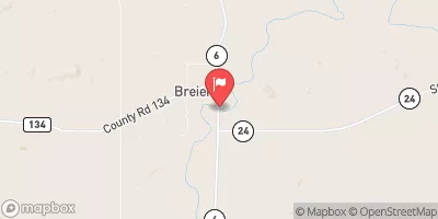
Cannonball River At Breien, Nd Realtime Data
CANNONBALL RIVER AT BREIEN, ND
Realtime Data • Report • Conditions
7
Discharge (cfs)
1.7
Gauge Height (ft)
Streamflow discharge was last observed at 7 cfs, and a gauge height of 1.70 feet.
With the
% decrease since yesterday,
the streamflow average over the past 10 days is 8 .
Weather today, Tomorrow,
The river is a part of the Missouri River watershed and is fed by numerous small streams and tributaries. The main tributary of the river is Cedar Creek. The river experiences seasonal flow changes due to rainfall and snowmelt. The flow tends to peak in May and June and is at its lowest in December and January. The river is not impounded by any dams. Interestingly, the Cannonball River gained widespread attention in 2016 when it became the site of protests against the construction of the Dakota Access Pipeline, which was feared to harm the river and its tributaries.
October 12, 2026
| Elevation | 1,687.0 ft |
| Last Updated | |
| Gage height, ft | 1.7 ft |
| Stream water level elevation above NAVD 1988, in ft | 1676.72 ft |
| Streamflow, ft³/s | 7.27 ft3/s |
| Percent of Normal | 21% |
| Year Over Year Average | 35 cfs |
| 24hr Flow Prediction | cfs |
| Maximum Recorded | 19,500 cfs |
 Continue with Snoflo Premium