

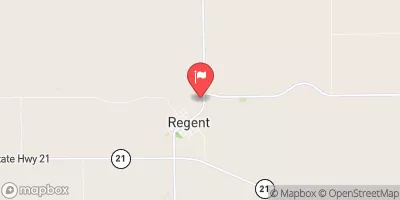
Cannonball River At Regent, Nd Realtime Data
CANNONBALL RIVER AT REGENT, ND
Realtime Data • Report • Conditions
3
Discharge (cfs)
4.7
Gauge Height (ft)
Streamflow discharge was last observed at 3 cfs, and a gauge height of 4.66 feet.
With the
% decrease since yesterday,
the streamflow average over the past 10 days is 3 .
Weather today, Tomorrow,
The river is primarily fed by snowmelt, rainfall, and groundwater from its basin. There are no major tributaries or dams that affect the river's flow. Seasonal trends show decreased flow in winter due to frozen waterways and increased flow in spring and summer as snow melts and rainfall occurs. The river has gained national attention due to protests against the construction of the Dakota Access Pipeline. The hydrology of the river is essential to the environment and the local community, providing a source of water for irrigation, recreation, and wildlife habitat.
October 23, 2026
| Elevation | 2,436.0 ft |
| Last Updated | |
| Gage height, ft | 4.66 ft |
| Streamflow, ft³/s | 3.04 ft3/s |
| Stream water level elevation above NAVD 1988, in ft | 2429.15 ft |
| Percent of Normal | 65% |
| Year Over Year Average | 5 cfs |
| 24hr Flow Prediction | cfs |
| Maximum Recorded | 4,090 cfs |
 Continue with Snoflo Premium