

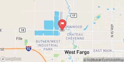
Sheyenne River Diversion At West Fargo, Nd Realtime Data
SHEYENNE RIVER DIVERSION AT WEST FARGO, ND
Realtime Data • Report • Conditions
384
Discharge (cfs)
10.1
Gauge Height (ft)
USGS 05059480
Streamflow discharge was last observed at 384 cfs, and a gauge height of 10.05 feet.
With the
% decrease since yesterday,
the streamflow average over the past 10 days is 107 .
Weather today, Tomorrow,
The river is fed by a variety of tributaries, including Baldhill Creek and the Maple River. The diversion itself was built in 1989 to protect the city of Fargo from flooding, and it has been successful in preventing major flood events. Seasonal trends show that the river typically has higher flows in the spring due to snowmelt and precipitation. Interesting facts about the Sheyenne River include its designation as a National Scenic River and the fact that it is one of the few rivers in North Dakota that flows north.
October 7, 2026
| Elevation | 905.0 ft |
| Last Updated | |
| Gage height, ft | 10.05 ft |
| Streamflow, ft³/s | 384.0 ft3/s |
| Stream water level elevation above NAVD 1988, in ft | 887.77 ft |
| Percent of Normal | 581% |
| Year Over Year Average | 66 cfs |
| 24hr Flow Prediction | cfs |
| Maximum Recorded | 4,810 cfs |
 Continue with Snoflo Premium