

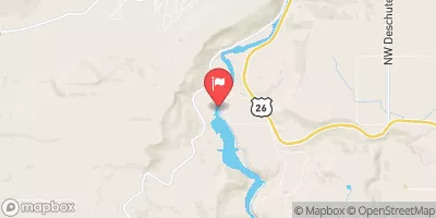
Deschutes River Near Madras, Or Realtime Data
DESCHUTES RIVER NEAR MADRAS, OR
Realtime Data • Report • Conditions
3,770
Discharge (cfs)
2.7
Gauge Height (ft)
Streamflow discharge was last observed at 3,650 cfs, and a gauge height of 2.69 feet.
With the
% decrease since yesterday,
the streamflow average over the past 10 days is 3,671 .
Weather today, Tomorrow,
The stream gauge at this location provides information on water flow rate, which is influenced by various factors including snow melt, precipitation, and irrigation. The river is fed by several tributaries and controlled by a series of dams, which can impact flow rates and water temperature. Seasonal trends show higher flows during the spring and summer months, with lower flows in the fall and winter. Interestingly, the Deschutes River is known for its unique geology, which includes lava fields and canyons carved out by ancient floods.
October 15, 2026
| Elevation | 1,396.0 ft |
| Last Updated | |
| Gage height, ft | 2.69 ft |
| Streamflow, ft³/s | 3650.0 ft3/s |
| Temperature, water, °C | 14.1 deg C |
| Percent of Normal | 91% |
| Year Over Year Average | 4,160 cfs |
| 24hr Flow Prediction | cfs |
| Maximum Recorded | 11,500 cfs |
 Continue with Snoflo Premium