

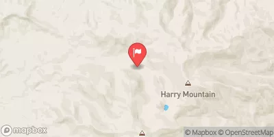
Schafer Creek Near Lacomb, Or Realtime Data
SCHAFER CREEK NEAR LACOMB, OR
Realtime Data • Report • Conditions
0
Discharge (cfs)
3.4
Gauge Height (ft)
Streamflow discharge was last observed at 0 cfs, and a gauge height of 3.38 feet.
With the
% decrease since yesterday,
the streamflow average over the past 10 days is 0 .
Weather today, Tomorrow,
The stream receives water from multiple sources, including rain and snowmelt, and the flow is affected by the presence of tributaries and dams. Some of the potential tributaries are Mill Creek, Rock Creek, and Dry Creek, while Foster Dam is the closest dam to the gauge. There are seasonal trends in the flow of Schafer Creek, with higher flows typically occurring in the winter and spring months due to snowmelt and increased precipitation. Interestingly, the gauge has recorded sudden changes in streamflow during severe weather events such as floods or droughts, providing valuable data for researchers and water managers.
October 22, 2026
| Elevation | 2,935.0 ft |
| Last Updated | |
| Gage height, ft | 3.38 ft |
| Streamflow, ft³/s | 0.13 ft3/s |
| Temperature, water, °C | 7.7 deg C |
| Percent of Normal | 9% |
| Year Over Year Average | 1 cfs |
| 24hr Flow Prediction | cfs |
| Maximum Recorded | 168 cfs |
| Geolocation | 44.62, -122.47 |
 Continue with Snoflo Premium